Slope
洛 2022/3/20
# gma.rasp.Surface.Slope(InFile, OutFile, OutFormat = 'GTiff', ComputeEdges = True, Band = 0, Scale = 1.0, UseDegree = True, ZevenbergenThorne = False)
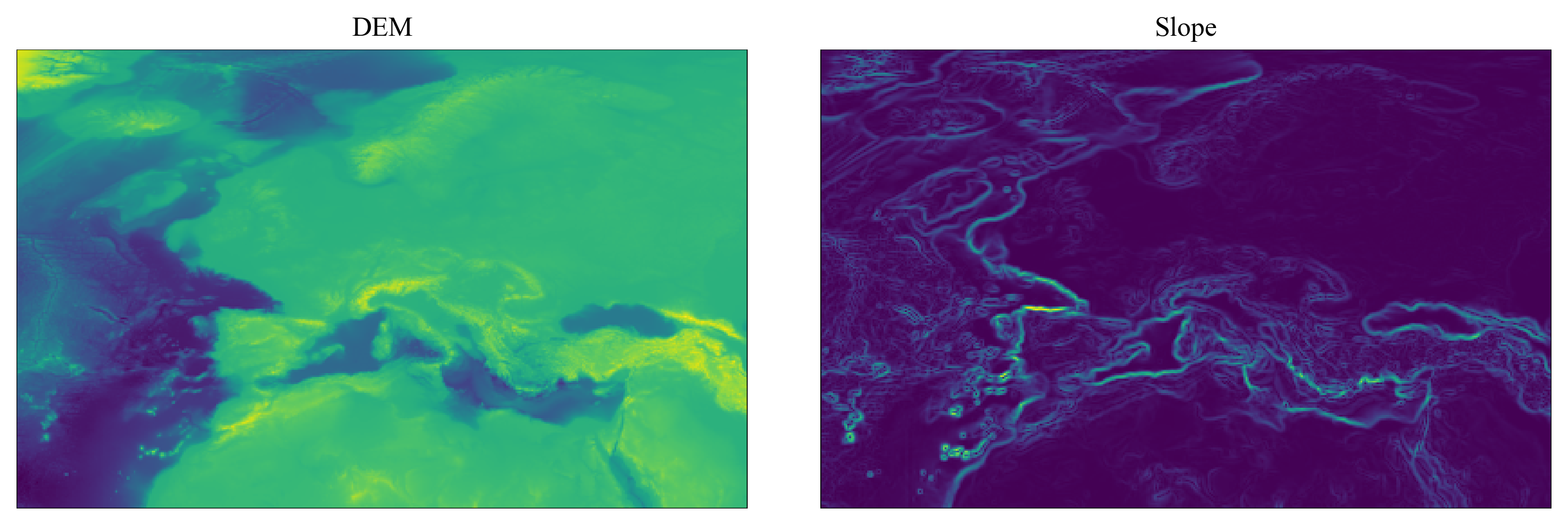
功能:【坡度】。从任何支持的 DEM 栅格文件计算坡度!
参数:
InFile:str。输入栅格路径。
OutFile:str。输出栅格路径。
可选参数:
OutFormat = str。输出栅格文件格式。默认为 GTiff,其他格式详见 rasp.ToOtherFormat 函数。
ComputeEdges = bool。是否计算栅格边缘数据和无数据值附近的数据。默认(True)是,其他设置值均视为否(False)。
Band = int。需要计算的波段,编号从 0 开始。默认(0)为第一个波段。
Scale = float。垂直单位与水平单位的比值。默认为 1 。若垂直单位为 m 而水平单位为 °(即栅格坐标系为地理坐标系),可设置 Scale = 111120。
UseDegree = bool。是否使用度(°)来表示坡度。默认(True)使用。若为否(False),则采用百分比(%)表示坡度。
ZevenbergenThorne = bool。是否改用 ZevenbergenThorne 法计算。默认(False)不使用(即采用 Horn 法计算)。不为 True 的设置均视为 Fasle。
示例:
from gma import rasp

InFile = 'DEM.tif'
OutFile = 'Slope.tif'

rasp.Surface.Slope(InFile, OutFile, Scale = 111120, OutFormat = 'GTiff')
1
2
3
4
5
6
2
3
4
5
6
原始DEM与坡度结果:

